
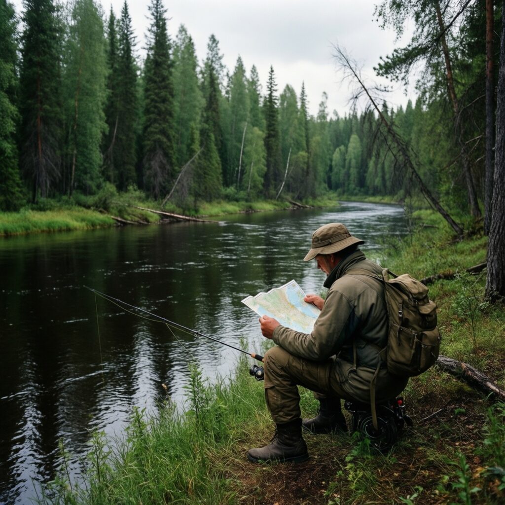
Searching for a Tunguska map can lead to two different Siberian rivers: the Lower Tunguska and the Podkamennaya Tunguska, also called the Stony Tunguska. They are separate tributaries of the Yenisei River, not two names for the same waterway. Identifying which river you mean is the first step in planning a fishing trip; after that, a useful map can help you understand access, river character, distances, and possible hazards.
Which Tunguska is on the map?
Lower Tunguska
The Lower Tunguska, or Nizhnyaya Tunguska, is a major river in eastern Siberia. Its broad course runs through a sparsely populated region before joining the Yenisei. On a regional map, follow the river westward to find its confluence with the Yenisei. Its long, remote route means that a promising-looking bend or tributary may be far from a road, settlement, fuel, or rescue support.
Podkamennaya Tunguska
The Podkamennaya Tunguska, or Stony Tunguska, is another large Yenisei tributary, lying to the south of the Lower Tunguska for much of its course. It also runs through remote territory, but has its own settlements, tributaries, access points, and boating conditions. Do not assume that information about one Tunguska applies to the other. A fishing report, local rule, transport route, or water-level observation should be checked against the exact river name and location.
On some maps, names appear in Russian, transliteration, or an abbreviated form. Look for Nizhnyaya Tunguska when identifying the Lower Tunguska, and Podkamennaya Tunguska for the Stony Tunguska. Check the river’s position relative to the Yenisei and nearby settlements rather than relying on a search result’s label alone.
Choose the right map for the job
- Regional overview: Use a broad map to see which river, region, and major settlements are involved. This is useful for deciding whether a trip is logistically realistic.
- Road and settlement map: Check roads, tracks, bridges, settlements, and ferry crossings. A road drawn near a river does not necessarily reach a safe landing or provide legal public access.
- Topographic map: Contour lines and landforms can reveal steep banks, valleys, floodplains, and likely walking routes. These details matter when choosing a campsite or carrying gear from a landing.
- Hydrographic or navigation chart: Where available, use detailed waterway information to assess channels, islands, shoals, and navigation hazards. A general-purpose map is not a substitute for a current navigation chart or local knowledge.
How to read a river map for a fishing trip
- Confirm the river and reach. Mark the intended stretch by naming nearby settlements, tributaries, or other recognizable features. Record the map’s scale and date, and check that you are not looking at a different Tunguska.
- Trace the whole approach. Follow the route from your starting point to the water. Identify where the last reliable road ends, whether a boat transfer is needed, and where fuel, supplies, or help might be available. Map symbols can be outdated, especially for minor tracks and seasonal crossings.
- Read bends and tributaries as clues, not guarantees. Outside bends may have deeper water and stronger current; inside bends often collect shallower deposits. Tributary mouths, backwaters, and islands can offer varied water, but their depth and fish activity depend on season and flow. Verify conditions on the ground before wading or anchoring.
- Look for safe access and retreat options. A visible bank is not necessarily a suitable landing. Check for steep slopes, cliffs, marsh, dense vegetation, and likely floodplain. Identify more than one possible landing or exit, and avoid planning a route that depends on crossing a fast channel.
- Estimate distances carefully. Measure along the river’s bends, not as a straight line across the map. A short map distance can mean a long boat journey, particularly against current or in difficult water. Allow time for scouting, weather delays, and changing water levels.
Plan around conditions and access
Large Siberian rivers can change substantially with season and water level. A channel, sandbar, bank, or track shown on a map may not match conditions on arrival. Use the map to prepare questions for local residents, guides, transport operators, or relevant authorities: Is the route passable now? Where can a boat land? Are there restricted areas or seasonal fishing rules? What species and methods are permitted in the exact location?
Before leaving, save an offline map and carry a paper backup if practical. Mark your intended route, camps, fuel points, communications limits, and agreed check-in times. Tell someone where you plan to go and when you expect to return. In remote country, a satellite communicator or other suitable emergency device may be important; do not assume mobile service is available. Carry navigation tools that work without a data connection, and know how to use them.
A simple map-check checklist
- Confirm whether the destination is on the Lower Tunguska or Podkamennaya Tunguska.
- Match the river name to settlements and tributaries on the map.
- Check map scale, coverage, date, road access, and likely transfer points.
- Plan for current, water-level changes, safe landings, and a return route.
- Verify current fishing rules and local access conditions before fishing.
A Tunguska map is most useful when treated as a planning tool rather than a promise of current conditions. Identify the correct river first, then combine regional, terrain, and waterway information with local advice. That approach helps turn a broad search for the Tunguska into a realistic plan for reaching the water and fishing it safely.